AT&T Microwave Sites in Central Oregon
From InterceptRadio.com Wiki
(Difference between revisions)
m |
m (→Maupin) |
||
| Line 104: | Line 104: | ||
AT&T Maupin - Power Plant | AT&T Maupin - Power Plant | ||
http://www.interceptradio.com/files/wiki/MaupinPowerPlant.jpg" | http://www.interceptradio.com/files/wiki/MaupinPowerPlant.jpg" | ||
| - | |||
| - | |||
| - | |||
AT&T Maupin - Building exterior | AT&T Maupin - Building exterior | ||
Current revision as of 19:55, 19 February 2015
These are some old AT&T Microwave sites in Oregon.
Contents |
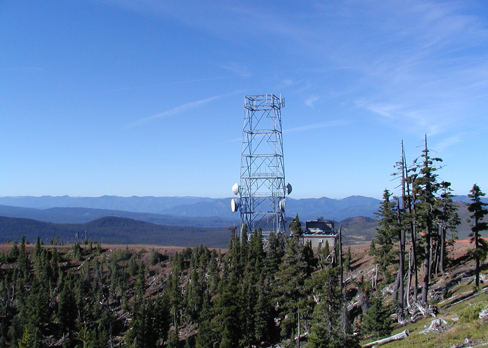
Hoodoo Butte
The Hoodoo Butte site is at the HooDoo ski resort, on the back side of the hill near the top of the chair lift.
The ski resort is on Hwy 20 about 19 miles west of Sisters, Oregon (near Santiam Pass).
The tower has been extended to about twice its original height.
Photo taken 5-9-2005.
AT&T Hoodoo Butte
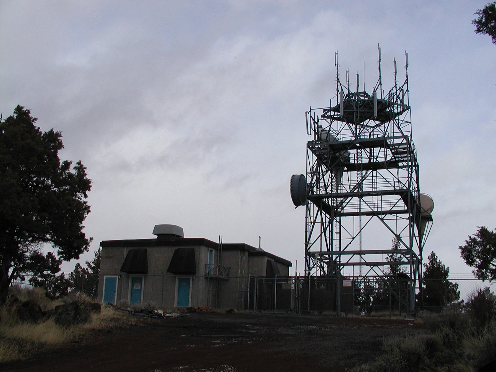
Long Butte
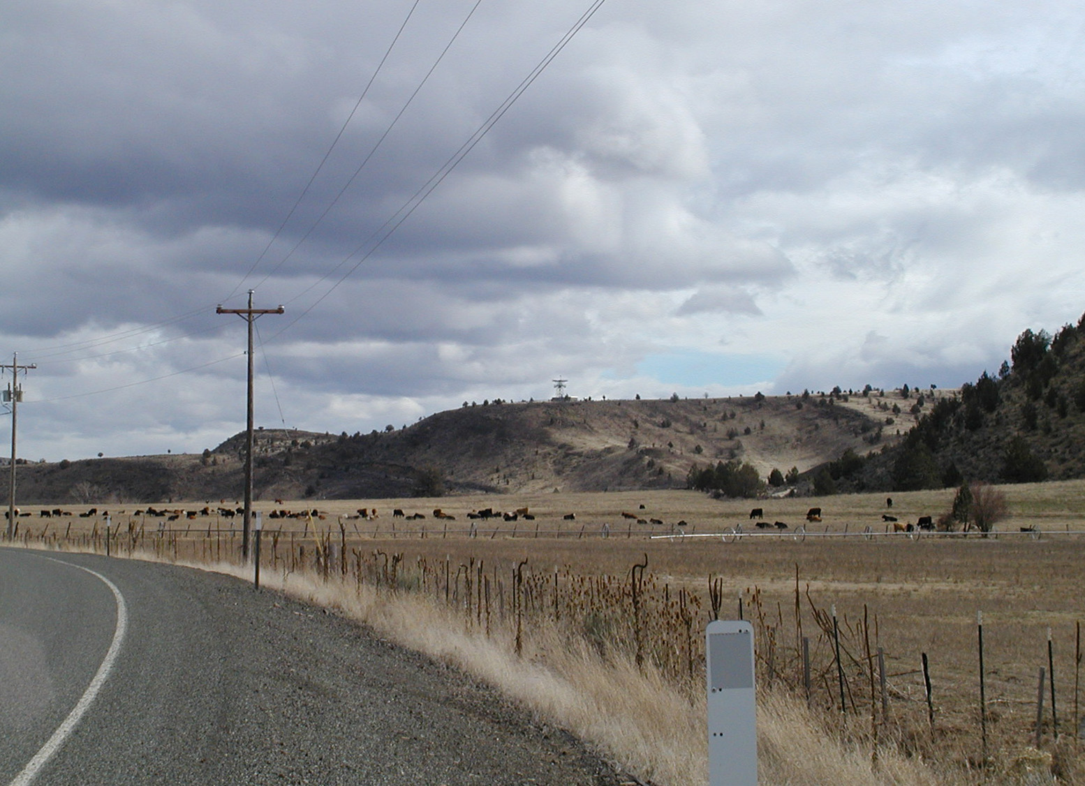
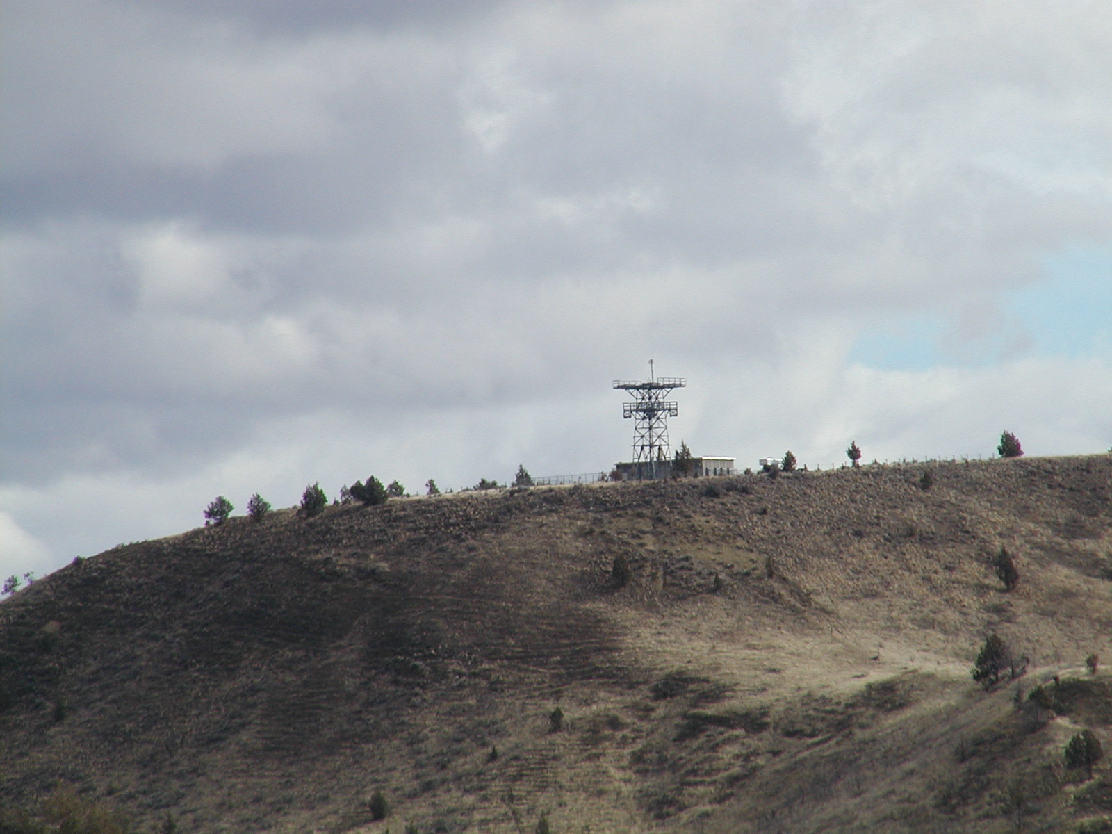
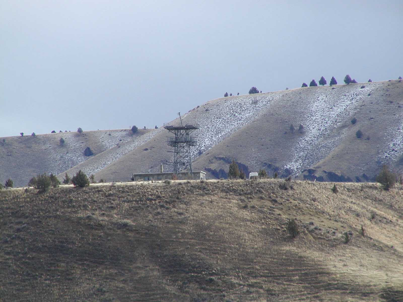
The Long Butte site is on top of Long Butte halfway between Bend & Redmond.
You can see it looking West from Highway 97.  The maintenance logs inside the building show
the last AT&T entries were from 1988. Some of the microwave antennas were recently removed for scrap.
Photo taken 2-4-2006.
AT&T Long Butte
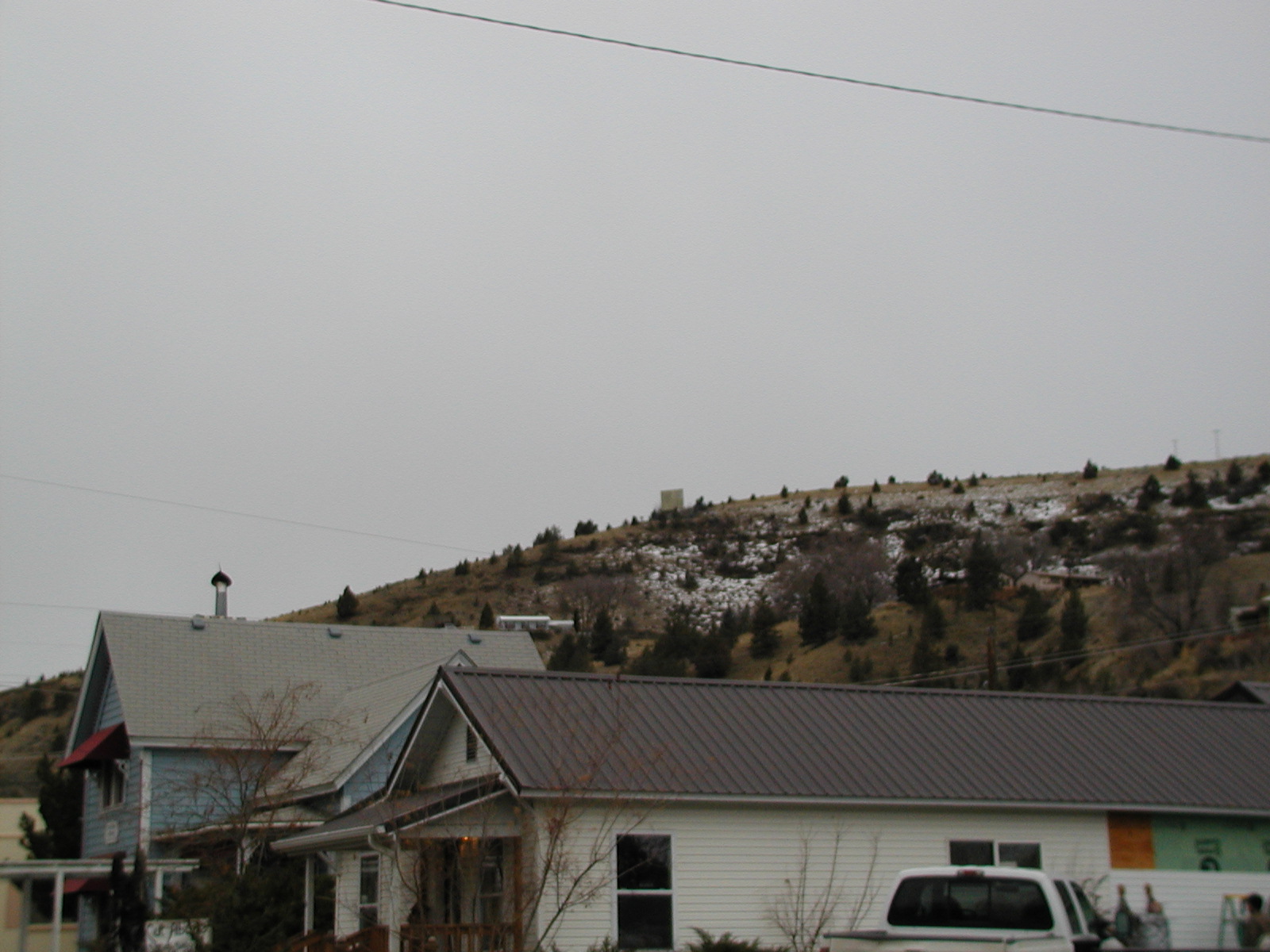
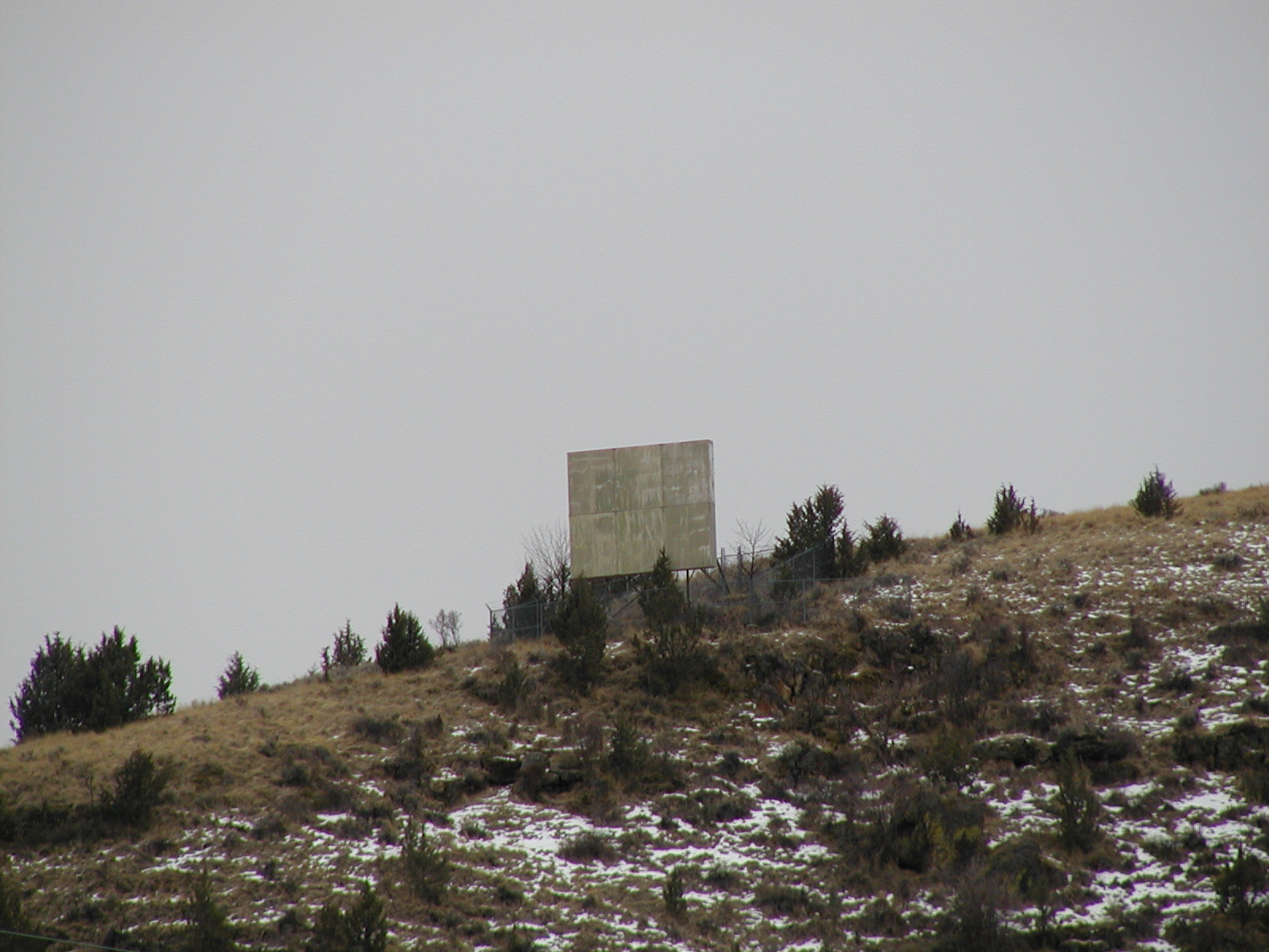
John Day
The John Day passive reflector is near downtown John Day. To see it, go about 1 block south on Hwy 395
from the junction of Hwy 26 and you will see it up on a hill to your right.  More information about
the passive reflector is available on Albert's site:
http://www.long-lines.net/places-routes/JohnDayPR_OR/index.html .
Photos taken 1-26-2006.
John Day passive reflector (as seen from highway)
John Day passive reflector (close-up)
Dayville
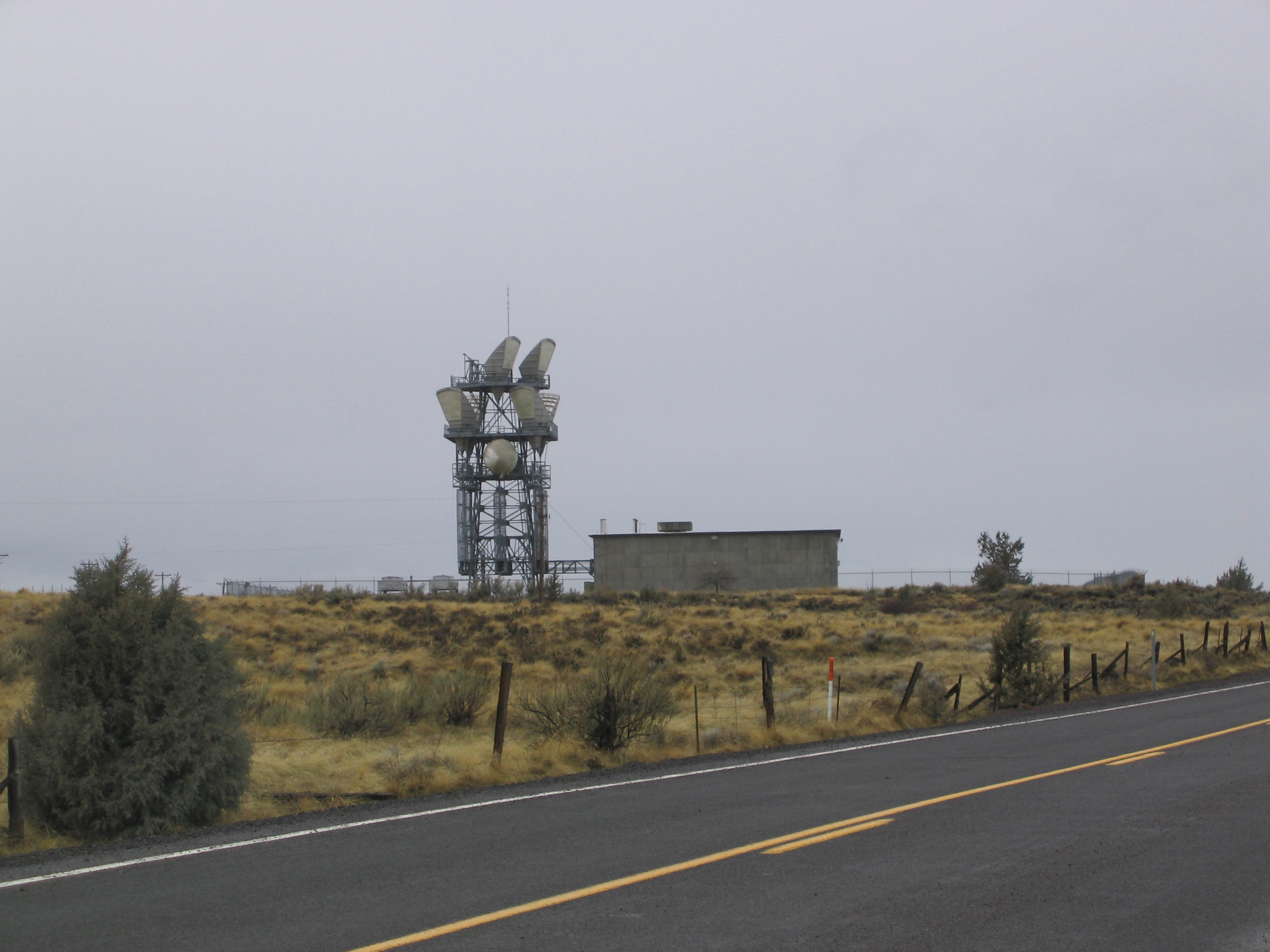
The Dayville site is a couple miles east of Dayville. You can see it to the south from Hwy 26.
Photo taken 1-26-2006.
AT&T Dayville (wide angle from highway)
AT&T Dayville (partial zoom)
AT&T Dayville (full zoom)
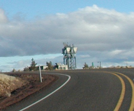
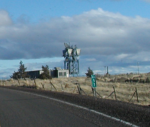
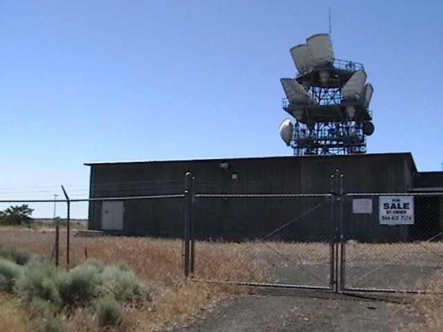
Maupin
The AT&T Maupin site is on the west side of Hwy 197 (milepost 57) on the top of
Criterion Summit (about 5 miles south of Maupin).
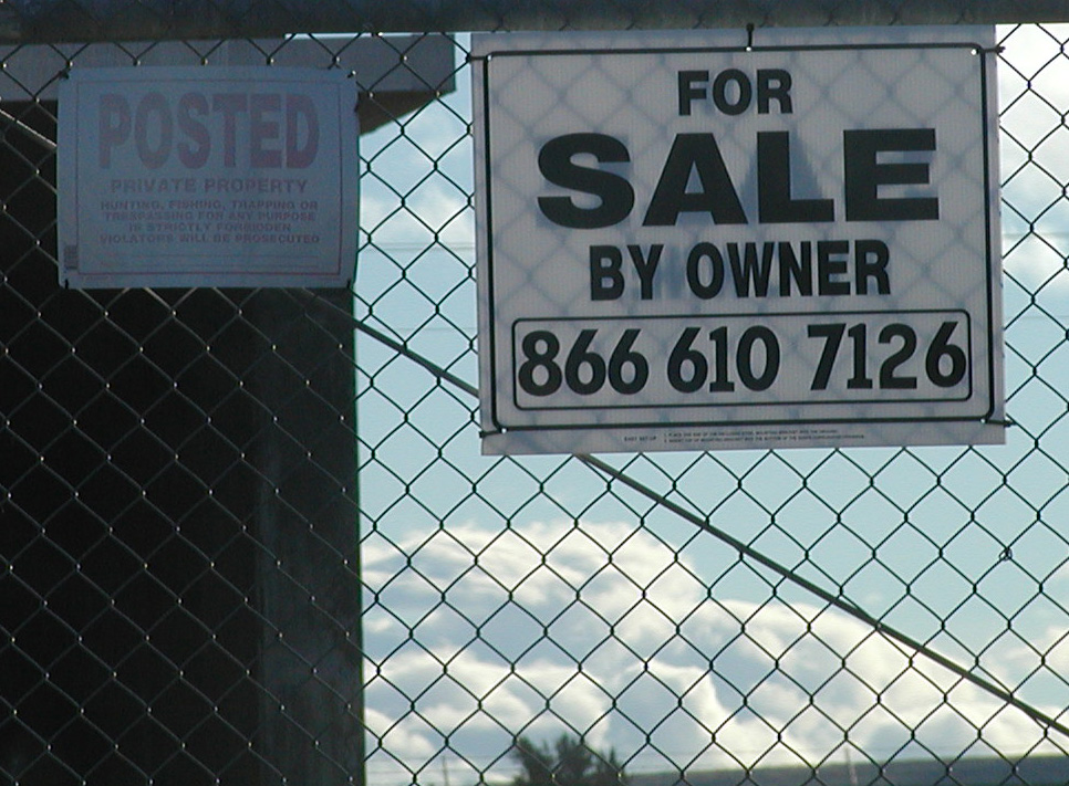
AT&T sold the site to ATC (American Tower).  ATC did nothing with it and sold it as a surplus
site to a company in Washington called "F2W LLC".
According to Dan Fiest (WA7QMV) at F2W:
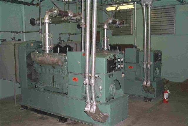
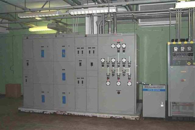
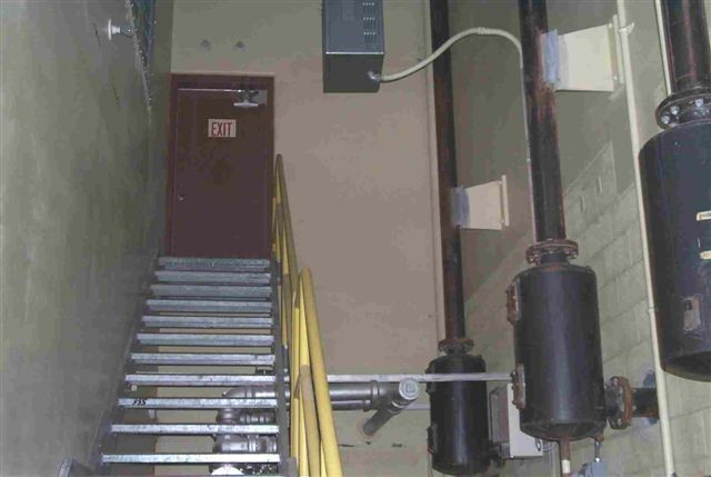
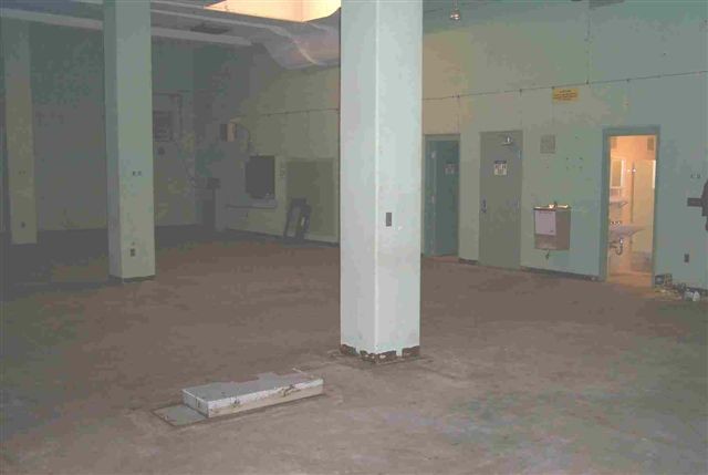
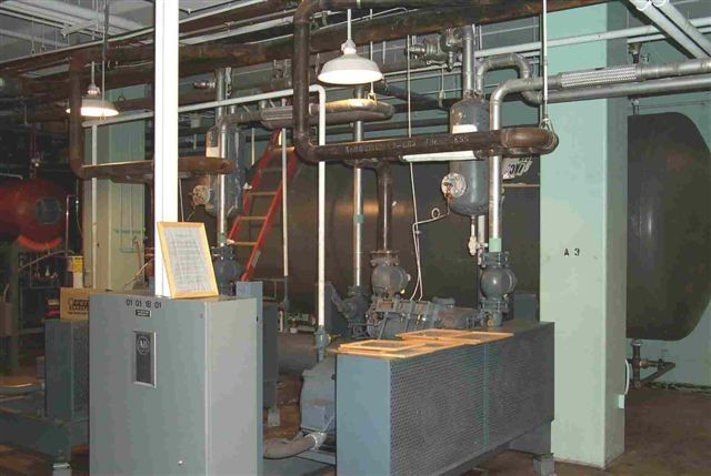
- This is one of the few "hardened" (more or less nuke-proof) sites in Oregon.
- This site was considered a "switching" site which is why its much bigger than the other sites.
- Construction is concrete poured over steel.
- Its a two-level building. One level is underground.  Each level is 6000 square feet.
- There is a small third level above the main mezzazine area.
- There are two 100kw diesel generators on the lower level.
- The site had two 10,000 gallon underground diesel tanks. AT&T removed them in 1992.
- There are two 3500-gallon fiberglass-lined water tanks on the lower level.
- There are two 400-foot water wells on the property that deliver 14 gallons per minute.
- The air conditioning capacity is 88 tons.
- The electrical service is 1200 amp 3-phase.
- The site has a 30kw hot-water heater.
- There are three restrooms.
- AT&T removed all the microwave transmitter equipment.
- There is a diesel incinerator onsite.
Photos taken 12-26-05 & 1-15-06
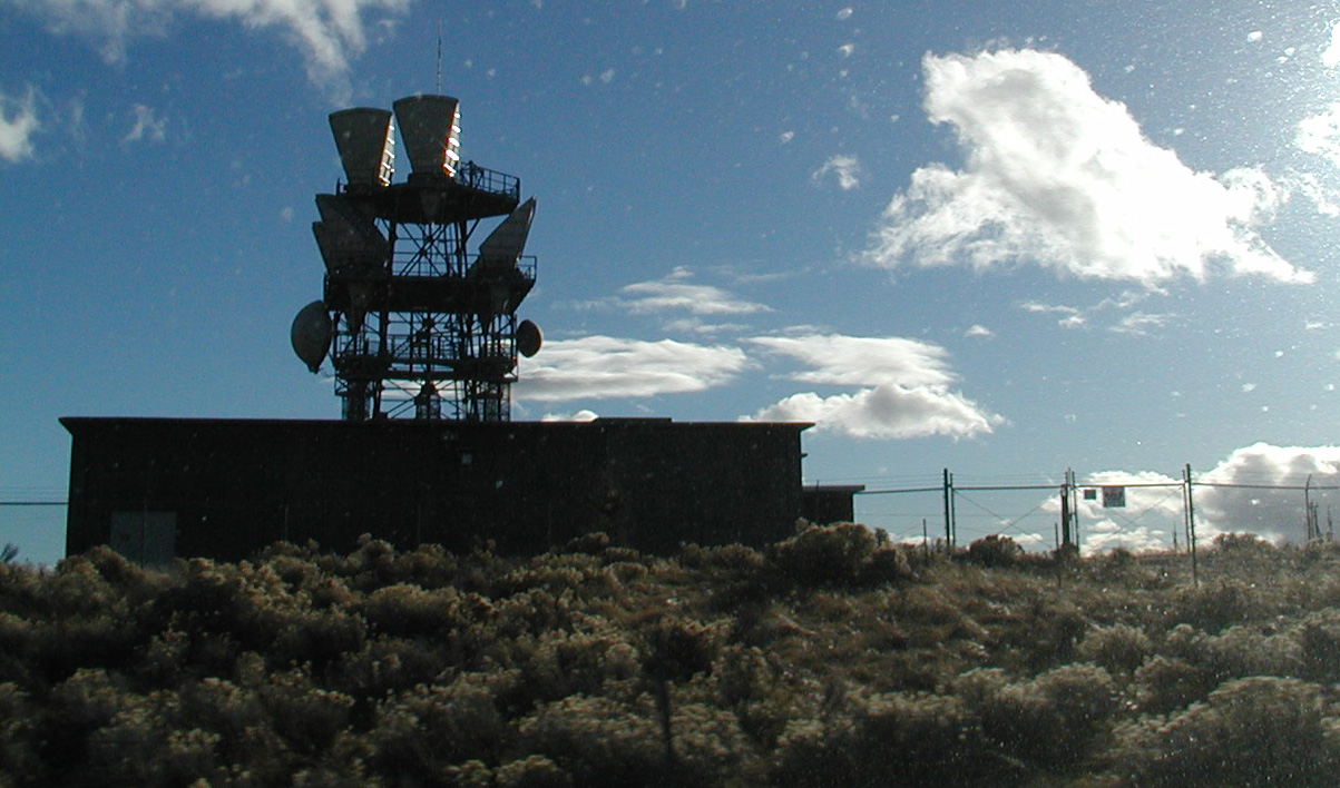
AT&T Maupin - Approaching from South. Nice clear shot of building/tower
 "
"
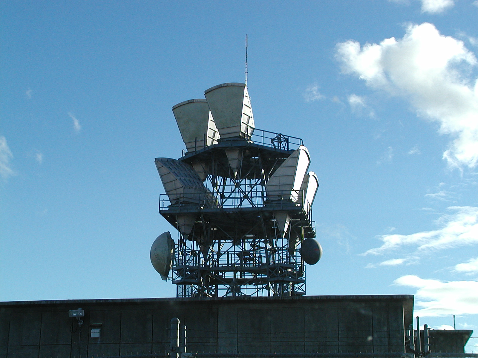
AT&T Maupin - Antennas close up
 "
"
AT&T Maupin - approaching from North
 "
"
AT&T Maupin - closer shot from North
 "
"
AT&T Maupin - Building
 "
"
AT&T Maupin - Interested in buying it ?
 "
"
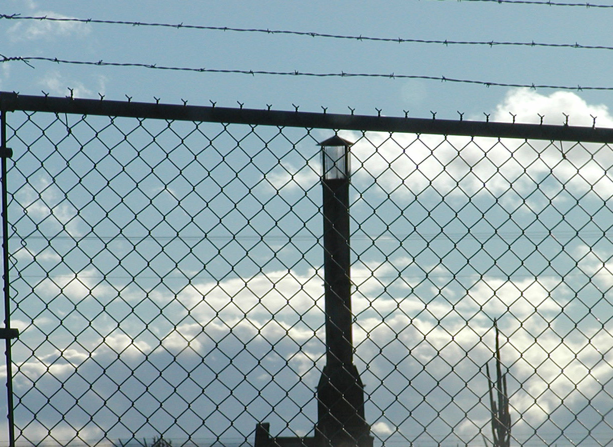
AT&T Maupin - Incinerator stack
 "
"
AT&T Maupin - Generators in basement
 "
"
AT&T Maupin - Power Plant
 "
"
AT&T Maupin - Building exterior
 "
"
AT&T Maupin - Stairs from basement
 "
"
AT&T Maupin - Upstairs
 "
"
AT&T Maupin - Water tank in basement
 "
"
